
News Summary
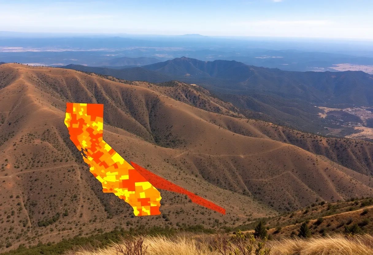
California has released updated wildfire hazard maps, marking the first revision in 14 years. With 6.8 million acres classified as severe fire hazard zones, the changes reflect the increasing urgency of wildfire threats amid climate change. The new maps utilize data-driven approaches for more accurate risk assessments. While some areas, like Oakland, saw reductions in hazardous zones, others, such as Napa County, faced significant increases. Homeowners must now adopt fire-resistance measures depending on their risk classifications, as these updates aim to protect communities and properties from wildfires.
California’s Wildfire Hazard Maps Get a Makeover: A Closer Look at the Risks
In a move that’s as necessary as it is timely, California has updated its wildfire hazard maps for the first time in 14 years. With climate change continuing to wreak havoc on weather patterns and fire behaviors, these new maps have arrived like a *wake-up call* for residents. The state has experienced some alarming wildfires, especially in places like Los Angeles earlier this year. Thanks to an executive order from the Governor, this overhaul was expedited, aiming to better protect communities and properties throughout the Golden State.
The Numbers Speak Loudly
The updated maps reveal a staggering 6.8 million acres now classified as severe fire hazard zones. This alarming statistic is not just a number but reflects a growing urgency regarding California’s wildfire fight. As the State Fire Marshal pointed out, this significant increase indicates just how serious the wildfire problem has become. Gone are the days when Californians could ignore the dangers lurking in their backyards.
Mapping Progress and Setbacks
One of the key features of these new maps is the reliance on data that includes factors like topography, fire weather, past fire history, and even the types of vegetation prevalent in certain areas. This scientific approach has allowed for much more accurate classifications. For instance, in Oakland, there was good news as the very high hazard zones saw a significant reduction—from over 10,000 acres to less than 2,000 acres. That’s an impressive 80% drop!
However, not all regions are celebrating. Napa County faced a drastic increase in designated high-risk areas, especially in the picturesque wine country towns of Yountville and St. Helena. The area has seen almost 1.2 million acres now classified as “very high hazard,” reflecting a 35% increase from the last map updates between 2007 and 2011. This paints a stark picture of how quickly things can change when it comes to fire risks.
Regional Risks: North vs. South
When looking at the broader picture, Northern California is seeing substantial growth in risky areas, especially in counties like Mendocino, Amador, Lake, Mono, and Lassen. Meanwhile, on the southern front, regions including Los Angeles, Riverside, San Diego, and San Bernardino are not out of the woods either, with expansive territories now placed in the most hazardous classifications.
What This Means for Homeowners
For the average homeowner, these maps can serve as essential tools in evaluating their personal fire risk. Knowing where you stand gives you the opportunity to implement critical fire-resistance measures, helping keep your family safe. State and local governments are on a 120-day timeline to officially adopt these new hazard maps, and they have the ability to add more areas to the list as needed.
Staying Compliant
If you’re living in a “very high hazard” zone, it’s not just knowledge that you need—it’s action. State law now requires these homeowners to clear brush and any ignition sources from within 100 feet of their homes. Moreover, new properties being developed in high hazard zones are required to comply with California’s fire-resistant building material regulations.
Insurance Updates: What to Expect
While homeowners may breathe a sigh of relief knowing that insurance rates shouldn’t rise simply due to the new maps, the landscape of existing insurance practices could still lead to higher premiums in fire-prone areas. Insurance companies are utilizing sophisticated models to calculate risks, taking into account everything from climate vulnerabilities to fire conditions. So, while updates to the maps are in place, it’s crucial to still do your homework and prepare.
A Step Forward
Overall, these updated wildfire hazard maps signify a critical step forward for California in its battle against the overwhelming threat of wildfires. With better data in hand, Californians can make informed decisions about their homes and communities, all while striving for a future that is a little less flammable.
Deeper Dive: News & Info About This Topic
- Fox 5 San Diego: Very High Fire Hazard Zones
- ABC30: Fire Hazard Zones in Central California
- Newport Beach Indy: Updated State Fire Hazard Maps
- Time Out: L.A. Very High Fire Hazard Areas
- OC Register: Changes on CAL Fire’s Risk Map
- Wikipedia: Wildfires in California
- Google Search: California Fire Hazard Maps
- Google Scholar: California Wildfire Hazard Maps
- Encyclopedia Britannica: Wildfire
- Google News: California Wildfires